Physical factors
Geographical coordinates
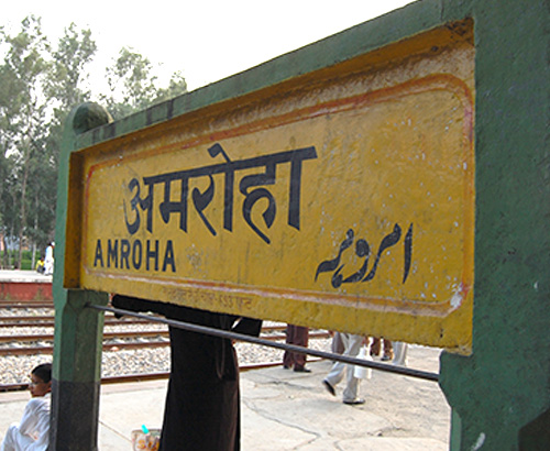
Amroha is located at 28.92°N 78.47°E. It has an average elevation of 211 metres (692 feet). Amroha is connected by rail with Moradabad and Delhi.And it also connected with national highway 24.
Weather and Climate
Amroha is located north-west of Moradabad, near the Sot River. Being just 130 km away, Amroha’s weather is very similar to Delhi. The city is divided into localities and blocks. The climate of the Amroha is similar to other districts of Western Uttar Pradesh situated at the base of Himalaya which becomes hot in summer and dry & cold in winter.
Rivers and Soil
Two major river rives passes by district Amroha. One of which is Sot river which is not that big and the other is Ganga which witnesses many events related to many cultures throughou the year
Types of soil area in Ha(000) percentage%
Sandy loam soils – 35.77 25.16
Loamy soils – 66.02 46.43
Clay loam soils – 29.17 20.52
Silty loam soils – 10.73 7.53
Rainfall
SW monsoon – (June-Sep) – 815mm with 55 normal rainy days
NE Monsoon(Oct-Dec) – 38mm with 13 normal rainy days
Winter (Jan- March) 66 15 – 66mm with 15 normal rainy days
Summer (Apr-May) 23 7 – 23mm with 7 rainy days
Annual – 942 with 90 normal rainy days
Land and Area
Its geographical area is 2470 Sq. Km. Extending from Latitute 28° 54’ North to 39° 6’ North and Longitude 78° 28’ East to 78° 39’ East.
Agriculture
A. Land utilization
i) Total Area (2009-10) in hectare – 216870
ii) Forest cover (2009-10) in hectrare – 21340
iii) Non Agriculture Land (2009-10) in hectrare – 16904
v) cultivable Barren land (2009-10) in hectrare – 974
Major climatic contingencies
Drought – Occasional
Flood – None
Cyclone – None
Hail storm – Occasional
Heat wave – Occasional
Cold wave – Occasional
Frost – Occasional
Fog – Occasional
Roads and Railways
Railways
Length of rail line (2010-11) in Kms 92
Roads
(a) National Highway (2010-11) in Kms – 52
(b) State Highway (2010-11) in Kms – 103
(c) Main District Highway (2010-11) in Kms – 75
(d) Other district & Rural Roads (2010-11) in Kms – 1095
(e) Rural road/ Agriculture Marketing Board Roads 2010-11 in Kms – 315
(f) Kachacha Road (2010-11) in Kms – NA

Divisions
Administrative
The district consists of 1133 villages, 4 Tehsils, 8 Blocks & 11 Police Stations. The maximum & minimum height from sea level are 240ft. & 177ft. respectively. In the north of the district lies District Bijnore, District Sambhal is in the south, District Moradabad is in the east and in the west are situated districts Hapur, Ghaziabad & Buland Shahar. Ganga river separates it from district Hapur, Ghaziabad & Buland Shahar.
